| WEST HENRICO CO. - GLEN ALLEN VA SNOWFALL FOR 2018-2019 WINTER'S TOTAL 16.4 Inches | ||||||
| BACK TO CURRENT SNOW TABLE | SNOWS OF PAST WINTERS | |||||
| Days |
Snow Month |
Snow Day |
Total Snow Inches |
Rating Hourly Chart |
Time Lapse Movie |
Remarks |
| 1 | Dec | 04-05 | 0.1 | Event 1 | Yes | The first snow of this winter started on December 4, 2018 but was so light few noticed it and lasted from 2130 to 2145. The temperature was 38.3°F at 2130 and 38.1 at 2145 and was in the form of snow pellets. The pellets had melted and evaporated by 2220 and the temperature was 37.9°F. Then a second event of more snow pellets occurred from midnight and reach a maximum at 0020 with a temperature of 37.1°F but still not even close to being measurable. After 0020 melting and evaporation completed their disappearance by 0330 and the temperature was 35.4°F. The snow didn't start again until 1030 as small snowflakes with a temperature of 38.9°F. At 1120 at a temperature of 37.4°F larger flakes started that lasted until 1140 and with the higher intensity for about 20 minutes it accumulated to 0.1 inches at a temperature of 36.0°F. By noon it had all melted and the snow was over with a temperature of 37.4°F. |
| 2 | Dec | 09 | 11.9 | Storm 1 | Yes | The Richmond International Airport had 11.5 inches of snow on December 9, 2018 which was the second heaviest single-day December snowfall on the Richmond records.
The record was December 22nd 1908 when 15 inches occurred. Yesterdays snowfall total also already makes December the 6th snowiest December on record.
Dec Totals, 1st-1908 17.2, 2nd-1917 15.3, 3rd-1958 12.5, 4rd-1935 12.3, 5th-1966 12.2, 6th-2018 11.5 The snow started at 7:35AM and lasted until 2100 and was all snow with a liquid equivalent of 1.16 inches. The maximum snowfall rate was about 2 inches per hour from 1505 to 1530. The models did not predict the high snowfall totals. To see pictures of this storm copy this address into the address bar ---- https://photos.app.goo.gl/rhkxa16bLTjK13J87. |
| 3 | Jan | 12-13 | 3.0 | Storm 2 | Yes | The forecast was 3 to 5 inches with the problem of a sharp cut off between all snow and mixed precip.
The snow started at 1610 as very small flakes and a temp of 35.8°F by 1915 0.2 inches had fallen and it was 31.4°F and then a lull and only flurries.
The snow started again at 2330 but was light to occasional moderate to 0300 of the 13th. Some sleet mixed with snow between 0200 and 0300.
After 0300 it was freezing rain and drizzle with a high temp of only 32.5°F for the day. Then between 1815 and 1920
an upper level trough gave heavy snow with 1.1 inches of additional snow. Total snow 3.0 inches and the liquid equivalent was 1.24 inches.
Springfield Park's total precipitation yesterday was 1.06 inches. Springfield Park's total precipitation for Jan. is now 1.43 inches.
The maximum temperature on the 13th was 32.5°F, a new 10-year cold daily maximum temperature record for the date - the old record was 37.4°F in 2016.
The daily temperature range on the 13th was 3.3°F, a new 10-year LOW daily temperature range record for the date - the old record was 10°F in 2009.
The daily precipitation on the 13th was 1.17 inches, a new 10-year HIGH daily precipitation record for the date - the old record was 0.02 inches in 2018.
The daily greatest snow on the 13th was 2 inches, and is a new 10-year daily greatest snow record for the date - the old record was 0 inches. A 1 Min. Video During the Storm |
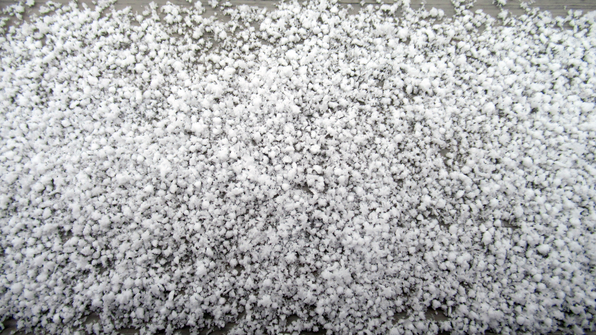
| 4 | Feb | 1 | 0.1 | Event 2 | Snowflake Picture |
This was an unexpected but very light snow. At 12:36 a barely discernible snow flurry started. At 1305 snow flurry was seen and lasted until 1540. Almost all of this snow fell as snow pellets with some dendrites that were heavily rimed. The high temp. for the day was 30°F. The roads were cold so it melted but refroze (particularly on bridges and overpasses) in the evening causing many accidents as black ice. The total liquid precip. was only 0.02 inches. The precip. came from a low pressure to the north and a trough south of the low. The Washington area got 1 to 2 inches. |
| 5 | Feb | 16 | 0.3 | Event 3 | Yes | The snow started mixing in with the rain around 0830 after having only 0.05 of rain. The flakes became very large or about 0.6 inches in diameter. The temperature was 38°F when it started and lasted until about 0930 given only 0.3 inches snow because of melting. The temperature was 34.1°F when the snow ended and turned to sleet. After around 1230 the rain and sleet became all rain again. The precipitation total by mid-night was 0.40 inches. |
| 6 | Feb | 20 | 1.0 | Storm 3 | Yes | This snowfall started at 3:05 AM with a temp. of 37.2°F. The snow crystals showed riming were broken and irregular along with some pellets. By 6AM the snow had turned to snow grains and sleet. By 7 AM we had the maximum snow fall amount of one inch by 8AM it was freezing drizzle and very light rain. By noon the temperature was above freezing and it was only rain. The glaze was too little to measure and wasn't significant. |
| 7 | ||||||
| 8 | ||||||
| 9 | ||||||
| 10 | ||||||
| 11 | ||||||
| 12 | ||||||
| 13 | ||||||
| 14 | ||||||
| 15 | ||||||
| BACK TO LINKS | ||||||